Gold Is Money!
It is a tangible currency that can't be hacked,
more powerful than the dollar, the euro or the yuan.
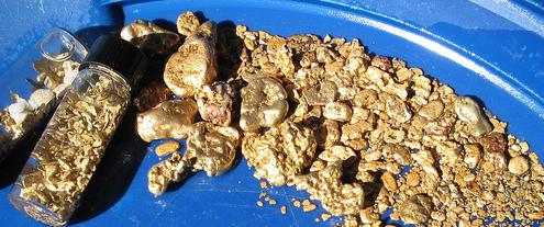
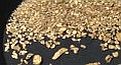
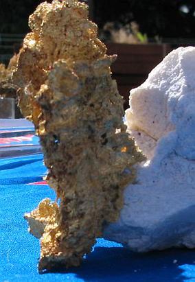
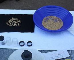
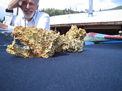
Some Of Our Gold Samples click on photos to enlarge


")


")


"I cleaned out the crevice & stopped for lunch.. Before heading to eat at camp, I wanted to check the sluice to see if that crack had any gold in it. I saw nothing going up the nozzle.
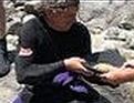
Testimonial - A Buyer's Experience
Video
Clean fine gold can be sold at 80-100% daily spot price prox. (depending upon the Buyer).
Smaller to medium sized nuggets (apprx.1-pwt.) can be sold slightly over spot.
Medium sized nuggets (1 - 5 pwt.) generally sell for 10% over spot.
Half ounce nuggets or larger typically command 1 - 5 times spot.
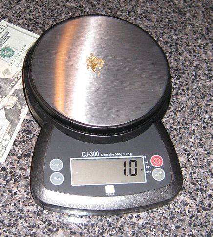
1 Pennyweight
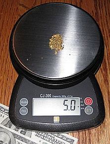
1/4 oz. (5 pwt)
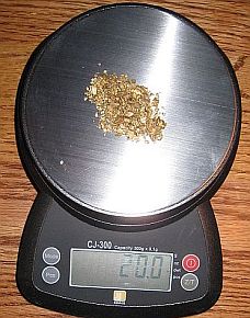
1 oz. (20 pwt)
Worth an amazing amount of money.
I about fell over! There was more gold in the top portion of the sluice than I had ever seen before. I can't even begin to describe the amount of color.
It was everywhere!"
Small amounts of gold -
Fun Short Clips Click on photos to view

I remember hearing a story about the time... continue >
A Short Story
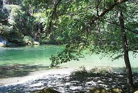
The Money's In The Bank!
(the river bank)


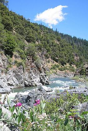
Salmon River sample pan - flakes, fines, nuggets
24 hour $US Dollar price per oz.
The Claim Post... representing the finest in gold property listings.
High-grade gold mining properties for sale.
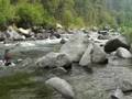
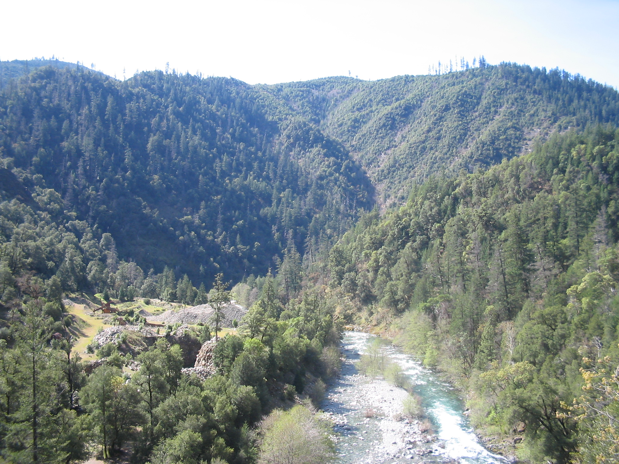
Liberty & Salmon River Mining Districts. Siskiyou County, CA
We are a small independent company with more than 40-years experience in the gold mining industry who have predominantly focused our attention and gold recovery labors in this region.
While taking in to account what has been documented by state and federal agencies, historians, geologists, scientists, & by way of our own experience, we believe this area represents an incredible opportunity for recovering mass quantities of gold within proven gold producing trends that boast phenomenal records of gold production history.
We invite you to consider the few mining properties we are offering for sale in this region.
Contact Us!
T: 303-827-3311
The Claim Post. High Grade Gold Properties For Sale. © Copyright 2003 to present. All rights reserved.
![[Most Recent Quotes from www.kitco.com]](http://www.kitconet.com/charts/metals/gold/t24_au_en_usoz_2.gif)
the most trusted name in gold property listings.
The Claim Post
est. 2003
World-Class gold properties for sale