The Claim Post
...the most trusted name in gold property listings
High-grade mineral properties for lease & for sale
A World-Class Gold Mining Property Listing
Photos
The Liberty Mines Group
21 unpatented mining claims - apprx. 2,900 acres
Located On The Historic Billion Dollar Black Bear & Eddy Gulch Trends
Liberty Mining District, Siskiyou County, CA
Located in the heart of one of the richest gold producing trends in the United States.

 accesses the Eastern portion of the collection")


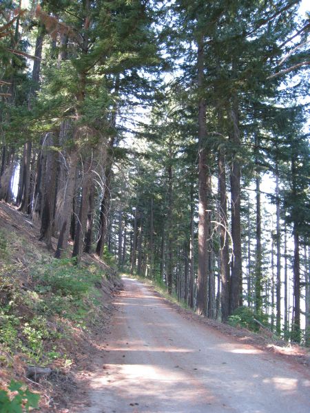


. Notice the timbers and the cement-like walls leading downwards.")


.")


 lived right in this very spot as they worked the gold out of the ground.")


 mine. The last Wilson Brother (Sheldon Wilson), recently passed away. He was over 90 years old.")


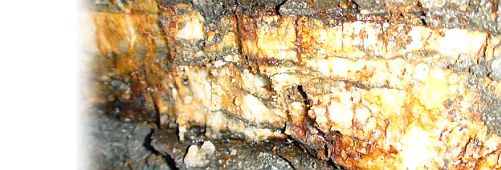
The Mines
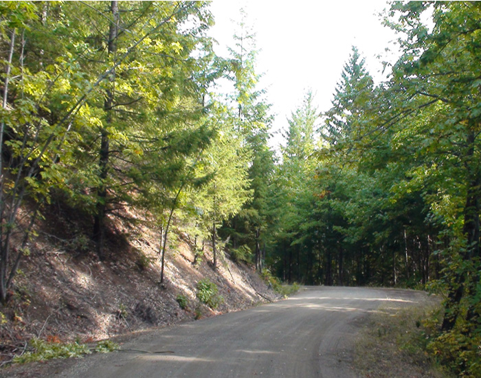
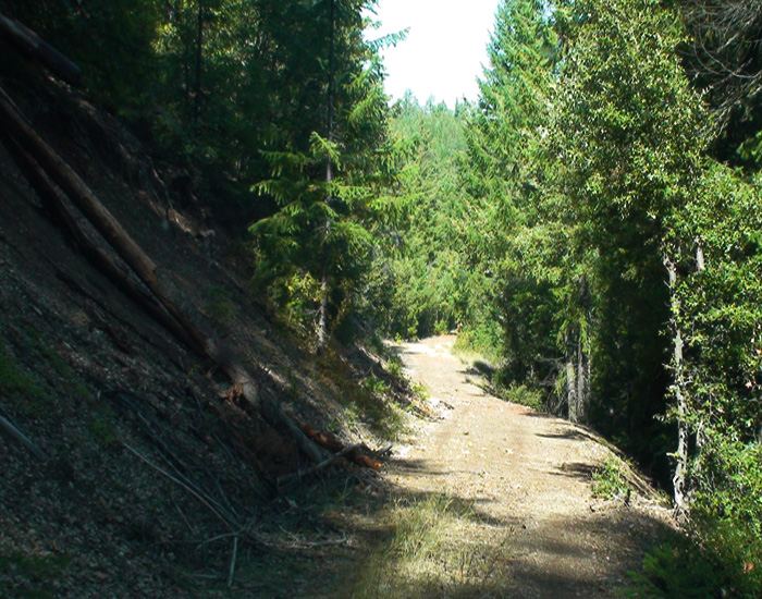
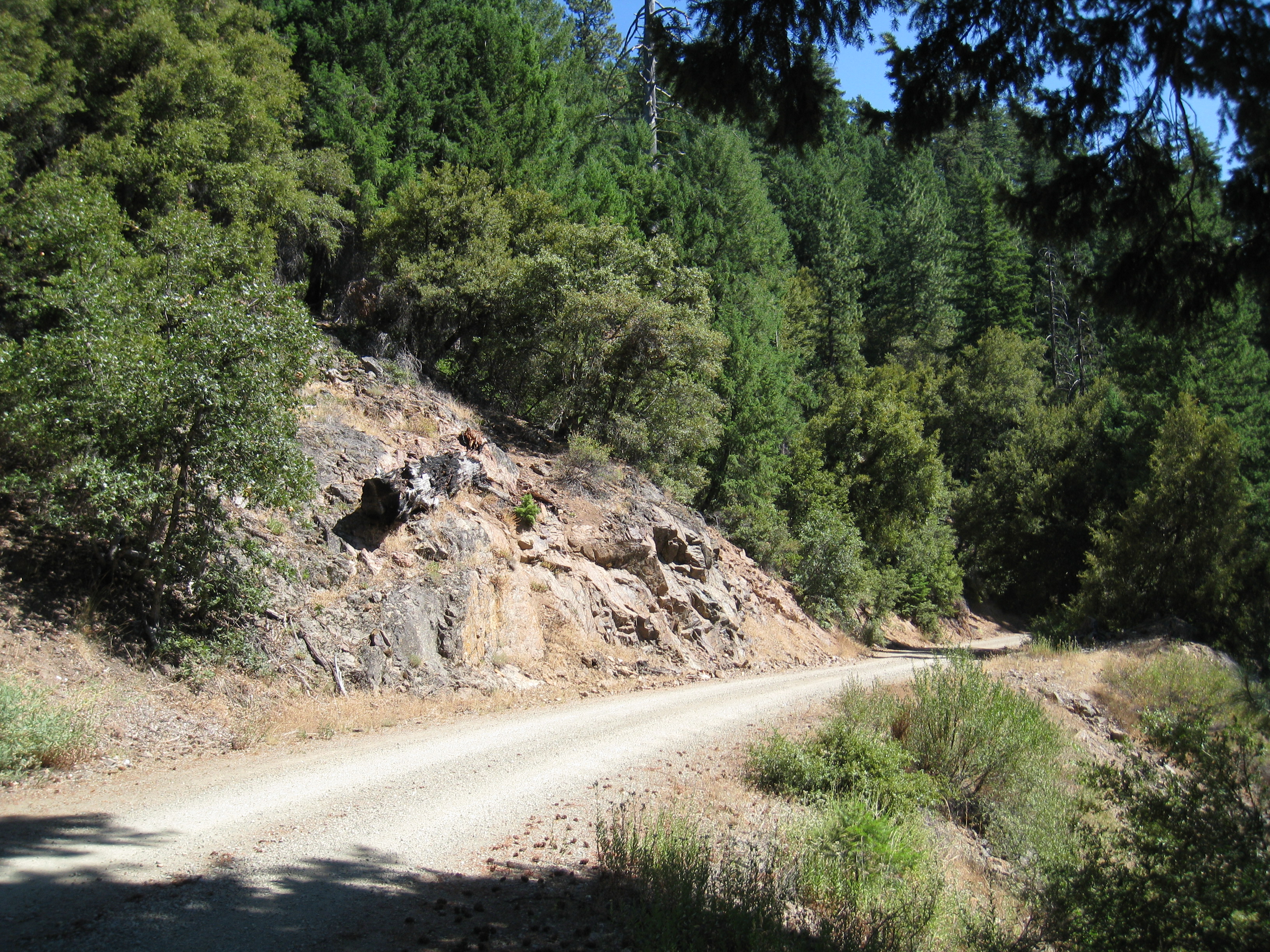
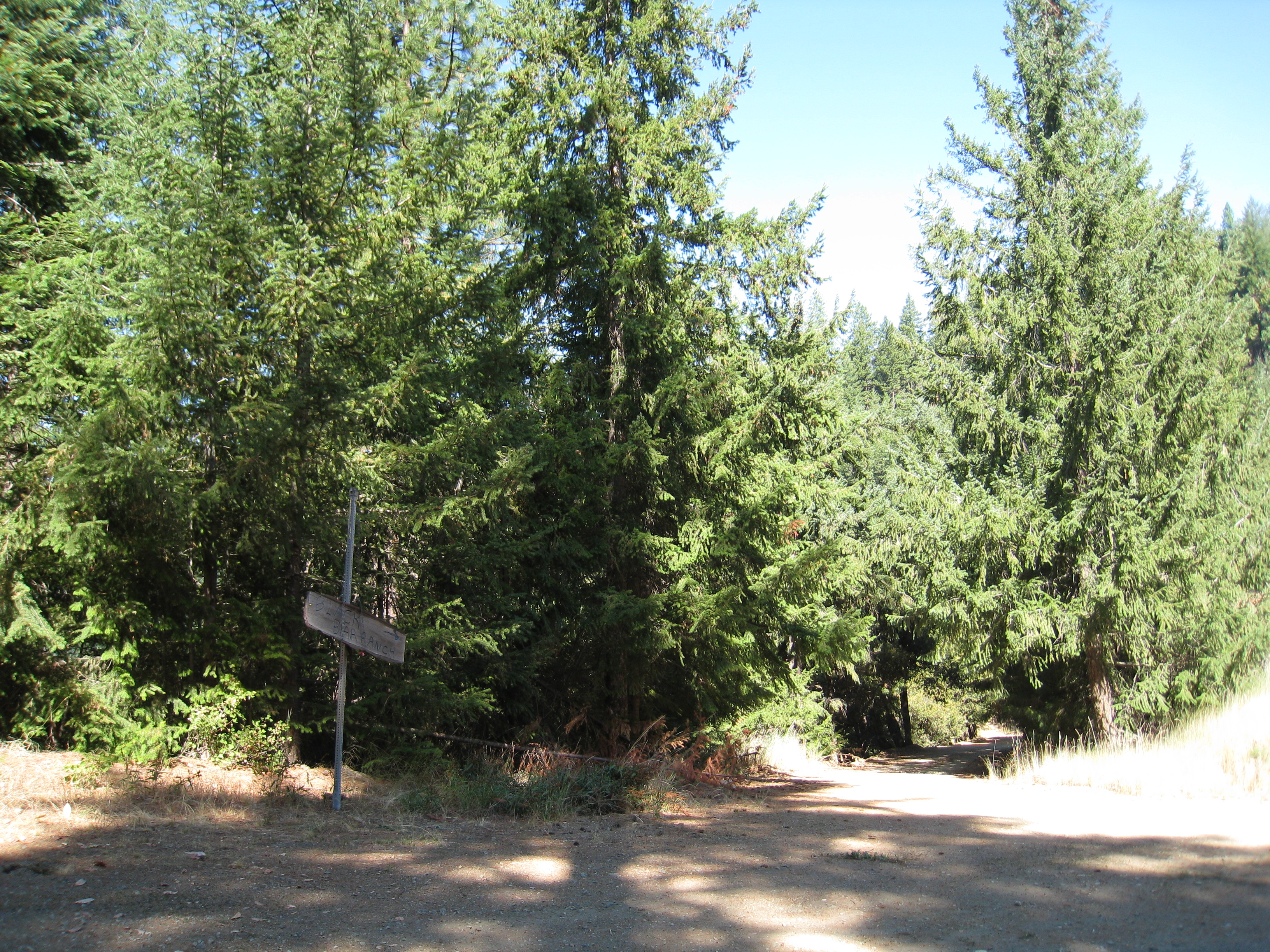
All of the unpatented mining claims within the Liberty Mines Group are marked with Federal Mining Claim signs. These orange and black signs are posted on the road network and are placed on large trees bordering the roads. The signs are posted in plain sight and in obvious and visible areas. The starting elevation for both Whites Gulch Road and Eddy Gulch Road is approximately 2,600’. The roads wind through the valleys and weave throughout the terrain. These roads provide incredible access, even above the 5,600’ level. The surface of the roads is crushed gravel and rock, and there are very few places where water is retained for any length of time, mostly in the form of shallow puddles. The roads become a little smaller towards the top but are still easily passable with large vehicles.
Photos were taken in Summer
None of our photos are color enhanced.
What you see is real.
Roads and Access
Access routes within gold bearing areas which can support mining operations are typically a major concern for mining companies. There is a great amount of time and cost involved in creating access routes to operation sites. One of the very valuable assets of the Liberty Mines Group is the existence of an excellent network of roads. Another key benefit that must be considered is that these roads are expertly maintained by the National Forest Service and Siskiyou County. The existence of roads (and their maintenance program) is a key feature of the Liberty Mines Group, and one that increases not only the value of the collection, but the ability to recover the minerals with a higher margin of profit.
The Claim Post. High Grade Gold Properties For Lease & For Sale. © Copyright 2003 to present. All rights reserved.
ENLARGE PHOTOS by clicking